Has the location of Noah’s Ark finally been proven using 3D scans?
The Torah tells us that the Ark landed on the hills of Mt. Ararat, a dormant volcano near the east border of Turkey. The Durupinar site is approximately 30 km south of that mountain.
 |
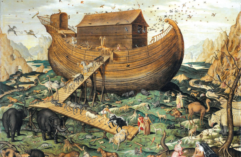
NOAH’S ARK on Mount Ararat’ (1570) by Flemish painter Simon de Myle. (photo credit: Wikimedia Commons) |
In 1959, a cartographer named Ilhan Durupinar discovered a boat-shaped footprint on top of a mountain in the Dogubayazit region in Turkey. Now, American researchers and Turkish scientists of Noah's Ark Discovered Project claim that they have proof that the biblical relic lies beneath the surface of Durupinar.
Using 3D scans of GPR and ERT technology, the researchers claim
that they uncovered a man-made boat structure beneath the ground, before
beginning any excavation. The formation identified in the scans,
according to the team, matches the dimensions of the Genesis description
of Noah’s Ark.
This week’s Torah portion
tells the story of God’s instructions to Noah to build an ark and carry
with him a male and female of each animal. The text carries specific
descriptions regarding the size and structure of the vessel: length 300
cubits, breadth 50 cubits, and height 30 cubits. Cubits, a biblical term
called Ama in Hebrew, means “forearm,” and is estimated to be approximately 18 inches, or about half a meter long.
The Torah further tells us that the Ark landed on the hills of Mt. Ararat, a dormant volcano near the east border of Turkey. The Durupinar site is approximately 30 km south of the mountain.
Researcher Andrew Jones and lead scientist Dr. Fethi Ahmet Yüksel of the
Department of Geophysical Engineering, Applied Geophysics Department of
Istanbul University believe that the results of the scans indicate a
man-made artifact beneath the surface that could well be the Ark, and
are eager to continue studying the location.
“The new GPR data shows parallel lines and angular structures 8 to
20 feet down,” claim the team on their project website. “These parallel
lines and right angles below the surface are something you would not
expect to see in a natural, geologic formation.”
Mount Ararat overlooking a field of eroded khachkars (Armenian cross-stones) in Western Armenia, from the book ‘100 (1915-2015)'. (credit: HRAIR ‘HAWK’ KHATCHERIAN)
However,
the scientific world is not keen to accept their assumption. Since the
original discovery by the Turkish captain, the Durupinar site has been
repeatedly questioned and refuted as the location of Noah’s Ark.
In the 1970s through to the 1990s, American researcher Ron Wyatt
studied the site and published his discoveries, which geologist Lorence
Collins then systematically refuted in 1996 in the Journal of
Geosciences Education, dismissing the findings as natural rock formation
with an unusual structure.
The spikes and wanes in public and academic interest were enough to lead the Turkish
Ministry of Culture to place the site under national protection and
label it a national park, but no official excavation projects have been
approved. Several independent teams are studying the site
simultaneously, both Turkish and foreign.
Even
after the original discovery was deemed superficial and a natural
phenomenon, some never gave up on the belief that the original Ark lies
beneath its surface. Perhaps the findings by Noah's Ark Scans, making
use of technology that didn't exist during previous expeditions, could
sway the verdict regarding deeper examination of the location that could
potentially be hiding one of the most significant relics in history.
PLEASE RECOMMEND THIS PAGE AND FOLLOW US AT:

No comments:
Post a Comment
Stick to the subject, NO religion, or Party politics